Für den Sonntag hatten wir die BLM Road 1065 als Ausflug, die auch House Valley Road genannt wird. Sie verbindet Arizona (Vermilion Cliffs National Monument) und Utah (Grand Staircase-Escalante National Monument). Dabei handelt es sich um eine knapp 48 km lange Schotterpiste. Für diese sollte man ein Auto mit hoher Bodenfreiheit und 4x4/Allradantrieb haben, da der Untergrund teilweise sehr sandig-weich sein kann. Bei Regen oder drohendem Regen soll man diese Straße meiden, da man sich dort schnell festfährt. Das Problem dabei ist dann, dass man a) keinen Handyempfang hat und b) auch weder Abschleppservice noch Mechaniker vorbeikommen. Den Anfang der Strecke, um dorthin zu gelangen, fuhren wir nun zum dritten Mal (u.a.vorbei an der Navajo Bridge) und starteten an der Arizona-Seite. BLM steht ansonsten für "Bureau of Land Management", das ist die staatliche Behörde, die dieses Gebiet managt.
For Sunday, we planned an excursion along BLM Road 1065—also known as House Valley Road—which connects Arizona (Vermilion Cliffs National Monument) and Utah (Grand Staircase-Escalante National Monument). It is a gravel track just under 48 km long. A vehicle with high ground clearance and 4WD/all-wheel drive is recommended, as the surface can be very soft and sandy in places. You should avoid this road if it is raining or if rain is forecast, as it is easy to get stuck. The problem then is that a) there is no cell phone reception, and b) neither a tow truck nor a mechanic is likely to come by. We drove the initial stretch to reach the route for the third time (passing the Navajo Bridge, among other landmarks) and started from the Arizona side. Incidentally, BLM stands for "Bureau of Land Management," the government agency that manages this area.
Kurz vor dem Abbiegen vom Highway kommt nochmal eine Infotafel mit einer Karte und ein paar Informationen zur Route.
Shortly before turning off the highway, there is another information board with a map and some details about the route.
Nach knapp 5 Kilometern kommt ein Parkplatz, der zur "Condor viewing site" gehört. Hier findet man Informationen zu den Kondoren, die man hier sehen kann. Oben auf dem Huegl befindet sich eine Aufzuchtstation, und einmal im Jahr werden die Kondore in die Freiheit entlassen.
After 3 miles, you reach a parking area for the "Condor viewing site." Here, you can find information about the condors that can be seen in the area. A rearing station is located at the top of the hill, and the condors are released into the wild once a year.
Links und rechts gehen viele weitere kleine Schotterstrassen ab, die auch gern mit Offroad-Fahrzeugen befahren werden oder zu kostenlosen Campsites führen. Aber teilweise auch zu tollen, nicht überlaufenen Wanderwegen; manche davon benötigen jedoch eine spezielle Lizenz, um dort wandern zu dürfen, um die Natur zu schützen.
Many other small gravel roads branch off to the left and right; these are popular with off-road vehicles and often lead to free campsites. Some also lead to fantastic, uncrowded hiking trails—though a special permit is required for some of them to protect the natural environment.
An der 1065 liegt auch die Maze Rock Art Site. Vom Parkplatz ist es ein knapper Kilometer Wanderweg, bis man zu einem großen Steinhaufen mit Petroglyphen kommt.
The Maze Rock Art Site is also located along Route 1065. From the parking area, it is a 0.7-mile hike to a large pile of rocks featuring petroglyphs.
Nur ein paar Kilometer weiter findet dann der Übergang von Arizona nach Utah statt, und damit auch vom Vermilion Cliff zum Grand Staircase-Escalante NM. Hier gibt es auch einen ganz einfachen Campingplatz.
Just a short drive further on, the transition from Arizona to Utah takes place—and with it, the shift from the Vermilion Cliffs to Grand Staircase-Escalante National Monument. There is also a very simple campsite here.
Zwischendurch liegt noch der Wire Pass Trailhead, von dem aus der Wire Pass Slot Canyon und The Wave (Coyote Buttes North) erreichbar sind. Die "Wave" ist sehr beliebt und dafür gibt es eine spezielle Lotterie, um eine Genehmigung zum Wandern dort zu ergattern.
Along the way lies the Wire Pass Trailhead, which provides access to Wire Pass Slot Canyon and The Wave (Coyote Buttes North). "The Wave" is very popular, and there is a special lottery to secure a hiking permit.
Am Ende geht es dann wieder auf einen Highway, der uns zurück nach Page führte. Inzwischen wurde es sehr dunkel und windig. Wir entschlossen uns dann noch kurz in Page zur Waschanlage zu fahren, da das Auto inzwischen einfach sehr versandet war. Als wir am Lake Powell ankamen, war es richtig stürmisch und überall wirbelte der Sand rum. Der Camper wackelte dann schon ordentlich durch den Sturm und später gab's dazu noch Gewitter und Regen.
Eventually, we got back onto a highway that led us to Page. By then, it had become very dark and windy. We decided to make a quick stop at a car wash in Page because the vehicle was covered in sand. When we arrived at Lake Powell, it was truly stormy, with sand swirling everywhere. The camper was rocking quite a bit in the gale, and later on, thunderstorms and rain moved in as well.
Nachtrag:
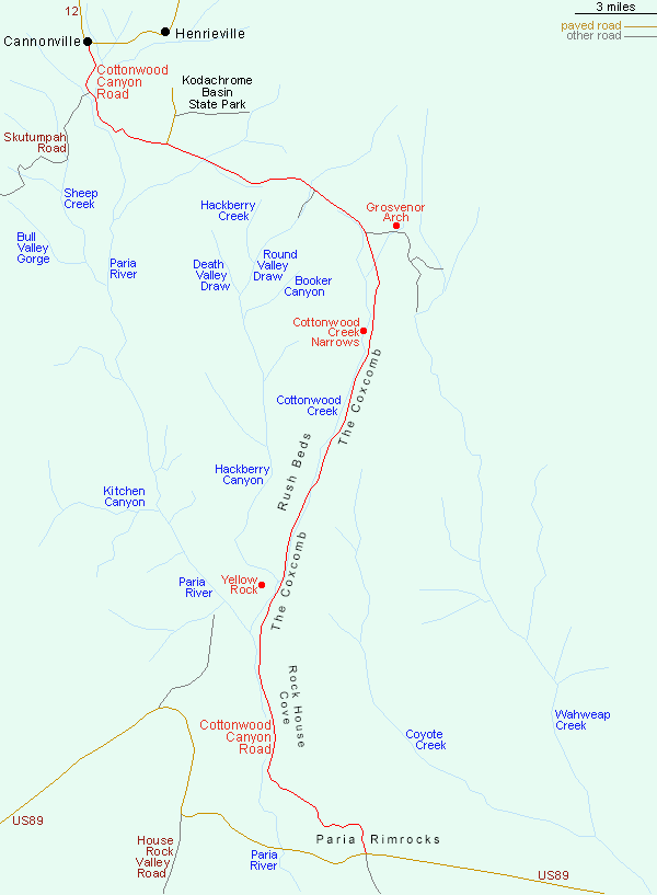
Am 13.7.2026 waren wir von unserer Reise schon wieder einige Zeit zu Hause und es kam die schockierende Nachricht, dass der aktuelle Präsident eine Verfügung erlassen hat, um Grand Staircase-Escalante NM und auch das Bears Ears NM um knapp 90% zu reduzieren, um Ölbohrungen etc. zu ermöglichen. Dabei wurden gezielt Lügen verbreitet (man kann dort eh nicht wandern, alles ist abgezäunt, man dürfe in keinem der beiden NM jagen oder fischen usw.). Es ist einfach unfassbar, wie selbst die Regierung von Utah mitgemacht hat und ohne Einspruch danebengestanden ist. :-(. So sind viele Orte (wie z. B. der Grosvenor Arch), die wir auf unserer Reise besucht haben, nicht mehr geschützt vor Zerstörung. Die Karte zeigt, was von zuvor (lila) noch als geschütztes Gebiet (orange) übrig geblieben ist.
Addendum:
By July 13, 2026, we had already been home from our trip for some time when the shocking news arrived that the incumbent president had issued an executive order to reduce the size of Grand Staircase-Escalante NM and Bears Ears NM by nearly 90% in order to facilitate oil drilling and similar activities. Deliberate falsehoods were spread in the process (claims that you couldn't hike there anyway, that everything was fenced off, that hunting or fishing was prohibited in both national monuments, etc.). It is simply unfathomable how even the Utah government went along with this and stood by without raising an objection. :-(. Consequently, many places we visited on our trip (such as Grosvenor Arch) are no longer protected from destruction. The map shows what remains of the original area (purple) as protected land (orange).